 |
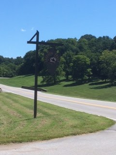
| Natchez Trace at mile 405, Jackson Falls |
The Natchez Trace, also known as the "Old Natchez Trace", is a historical path that extends roughly 440 miles from Natchez, Mississippi, to Nashville, Tennessee, linking the Cumberland, Tennessee, and Mississippi Rivers. The "Old" trace is now a scenic highway dotted with hundreds of features to lure drivers to stop and look around. In fact, there are so many interesting places to see, we recommend seeing just a few sections at a time. Fortunately for residents of Tennessee and northern Alabama and Mississippi, the most scenic parts of the trace are the rolling hills, deep ravines, rivers, and streams in Tennessee. Access a map at this site to see the best place to enter the Trace. http://www.nps.gov/natr/index.htm
Visitors starting from the north enter the Trace at Highway 100 near Bellvue. From I-40 you take the McCrory Lane exit south to Hwy 100 at the terminus of the Trace. This is mile marker 444. There are many entries to the Trace between Hwy. 100 and U.S. 64 on the south between Waynesboro and Lawrenceburg. You can also connect from Dickson, Centerville, Franklin, and Columbia via Hwy 96, Hwy. 7, or Hwy. 50. You can connect from Hohenwald or Columbia via Hwy. 412. If you Google Nathchez Trace, you can find many entry points that will allow you take short rides and leave plenty of time to stop and explore.
Many parts of the Old Natchez Trace remain where you can walk or drive short distances. Where Hwy. 20 crosses the Trace between Hohenwald and Summertown (between mile markers 380 and 390 is a visitor center and the burial site of Meriwether Lewis, of Lewis and Clark fame.
Hiking trails, scenic overlooks, and historic sites abound along the Trace.
One of our favorites spots in Jackson Falls at mile market 405. You wouldn't guess the falls is there by looking from the road. When you park, you'll be at the top of bluff above the Duck River and beautiful farmland across the river. To the right a paved 900-foot walkway with handrails and benches for resting takes you down approximately 300 feet to the foot of the falls. A 1/4-mile easy walk to your left takes you to a high overlook where you can see the river without trees obstructing your view. There are a picnic pavilion and restrooms at this site.
 |
| Bottom of Jackson Falls |
 |
| Mossy Rock Formation Along Paved Walkway to Jackson Falls |
 |
| Top of Jackson Falls, a cool slide for kids |
Our favorite place to picnic is Jack's Branch at mile marker 378, just a few miles north of U.S. 64. Jack's Branch features a beautiful clear wading stream (branch) that runs the length of a shady, level picnic area with tables and grills. Clean rest rooms are also at this location.
 |
| Harvey beside Jack's Branch |
 |
| Jack's Branch Picnic Area |
 |
| Jack's Branch Picnic Area |
No comments:
Post a Comment
If you don't wish to register, please leave your comment as "Anonymous."